Summer Certification Limited Time 70% Discount Offer - Ends in 0d 00h 00m 00s - Coupon code = getmirror
Pass the Esri EADA EADA10 Questions and answers with ExamsMirror
Exam EADA10 Premium Access
View all detail and faqs for the EADA10 exam
622 Students Passed
91% Average Score
90% Same Questions
An ArcGIS user wants to create a custom fill symbol to symbolize a forest area. The symbol will fill the polygon area with a small abstract figure of a tree.
Which symbol type should be used?
An ArcGIS user is working on a map of a province. The user wants to create an inset to identify the province within the entire country.
Which map element should the user employ?
An ArcGIS user wants to automate a process in ModelBuilder to determine the number of points that are located in polygons.
Which tool should be used for this process?
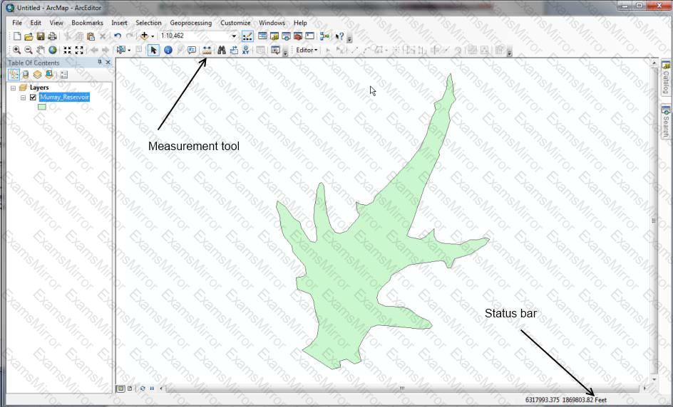
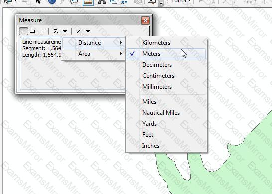
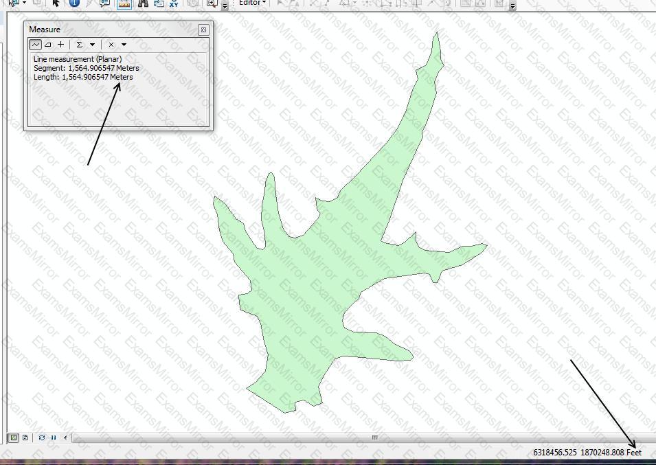
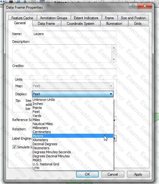
An ArcGIS user is viewing a feature layer that is being displayed in a projected coordinate system that uses meters as the units. The user needs to see the map coordinates displayed in the status bar as nautical miles.
How can the units be changed without changing the coordinate system?
What is the result of applying a relate in ArcMap to a stand-alone table and a layer attribute table?
An ArcGIS user has a single long line that is intersected by many other lines. The user wants to split the long line at each intersection.
Which tool allows the user to perform this in a single step?
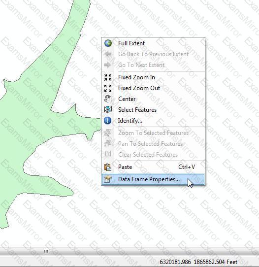
How is a coordinate system changed in a data frame to match the coordinate system of a desired layer contained within?
An ArcGIS user is analyzing an earthquake dataset to investigate the relationship between magnitude and duration of incidents. The user displays magnitude on an x-axis and duration on a y-axis.
Which type of graph is the user employing?
TOP CODES
Top selling exam codes in the certification world, popular, in demand and updated to help you pass on the first try.